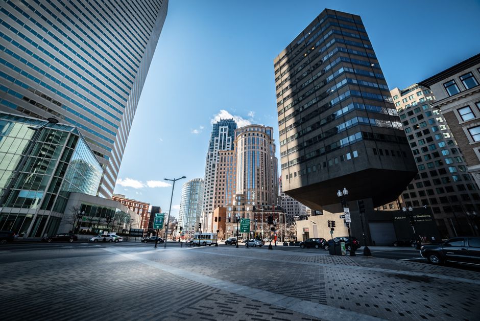
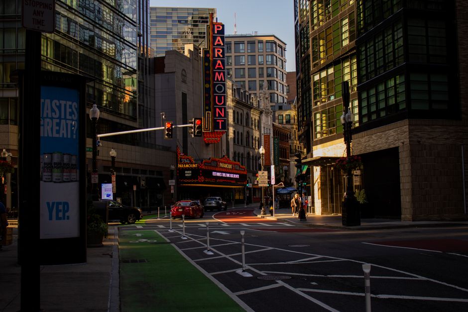
Walk through any online property listing for a condominium in Binondo or a commercial space along Taft Avenue and there is a good chance you will see the same photograph appear three, five, sometimes a dozen times under different addresses. This is not an accident. It is the cumulative result of a decade of lax digital recordkeeping, vendor shortcuts, and a city government that only recently began auditing its own image databases.
The problem matters now because the Manila City Assessor's Office launched a digitisation push in 2023 intended to modernise property valuation records across all 16 districts. That initiative, which drew on funding earmarked under the city's updated Revenue Code, exposed just how deep the duplication ran. Internal reviews reportedly found images tagged to parcels in Tondo appearing simultaneously in records for properties in San Miguel. The mismatch has complicated tax assessments and confused prospective buyers relying on official city portals for due diligence.
Where the Problem Started
The roots go back to the early 2010s, when Manila first began digitising its zoning and land use maps under the Comprehensive Land Use Plan that the city council ratified in 2012. Contractors hired to photograph properties across districts like Sampaloc and Malate uploaded images in bulk, often reusing stock photographs or duplicating a single structure's exterior shot across multiple lot entries. The Manila Zoning Administration, which sits under the City Planning and Development Office on Antonio Villegas Street in Ermita, had no automated flagging system at the time. Staff reviewed records manually, and with thousands of parcels to process, duplicates slipped through.
Private real estate portals made things worse. Developers and brokers listing units in towers along Roxas Boulevard routinely uploaded the same promotional renders across multiple floor configurations. By 2019, at least three major Philippine property listing platforms had acknowledged, in their terms-of-service updates, that image deduplication was the user's responsibility, effectively pushing the problem onto individual listers rather than platform algorithms. The result was a self-reinforcing cycle: poor city records made it easy for brokers to justify reusing images, and poor broker practices made city records harder to clean up.
The Social Housing Finance Corporation, which administers affordable housing programs affecting communities in districts like Pandacan and Paco, flagged duplicate imagery as a compliance issue in a 2021 internal memo that later circulated among housing advocates. Units photographed for one relocation project in Baseco Compound had their images reattached to separate projects in Balut, according to housing rights groups who reviewed the memo at the time. This created documentary confusion during beneficiary verification, delaying move-in timelines for hundreds of families.
What the City Is Doing About It
The Manila City Assessor's Office began piloting a hash-based image verification tool in the third quarter of 2024, applying it first to records in Districts 1 and 2, which cover the port area and parts of Tondo. The tool flags images that share identical pixel signatures, allowing assessors to quarantine duplicates before they enter the active database. As of the first quarter of 2026, the office had processed roughly 40,000 property records under the new protocol, according to figures cited in the city government's mid-year budget deliberations.
The effort is not cheap. The technology licensing and staff retraining component of the digitisation program was budgeted at approximately PHP 18 million for the 2025-2026 fiscal cycle, a figure raised during deliberations at the Manila City Council chambers on Padre Burgos Avenue. Critics on the council questioned whether the allocation addressed root causes or merely cleaned up a symptom of deeper recordkeeping failures.
For ordinary Manileños navigating property decisions, whether buying a unit near España Boulevard or applying for a building permit in Quiapo, the practical advice is straightforward: cross-check any image on a city portal against the physical address using street-level mapping tools before making financial commitments. The Assessor's Office accepts in-person verification requests at its window on the ground floor of Manila City Hall, and processing typically takes three to five working days. The cleanup is underway, but it is nowhere near finished.